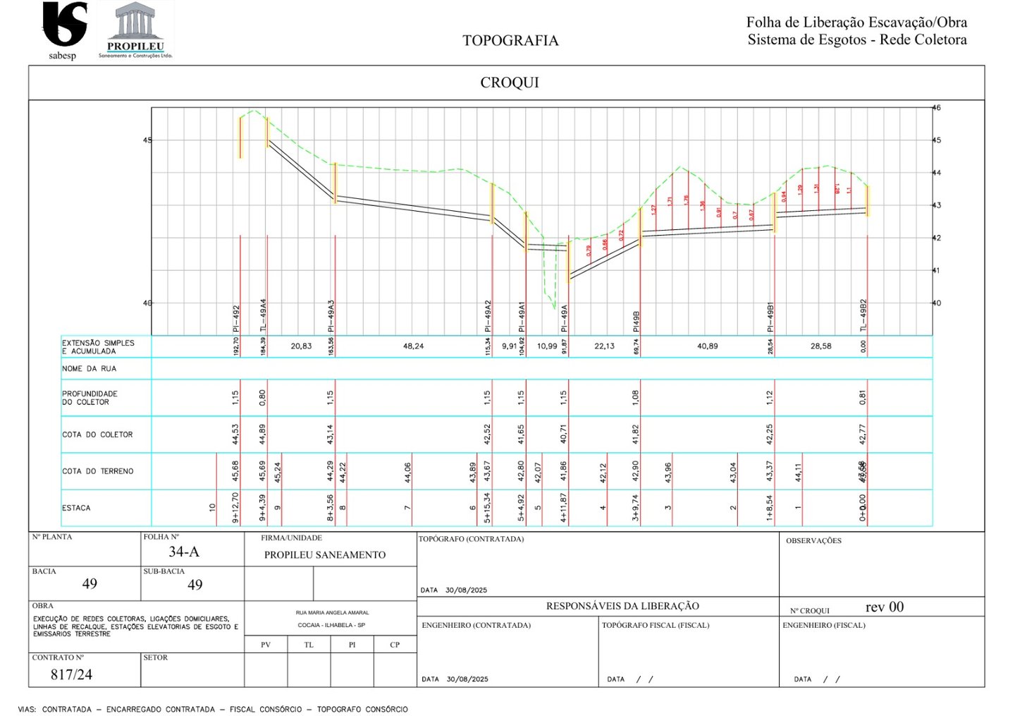
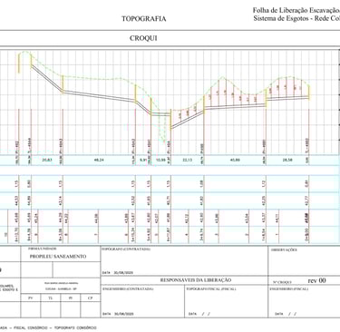
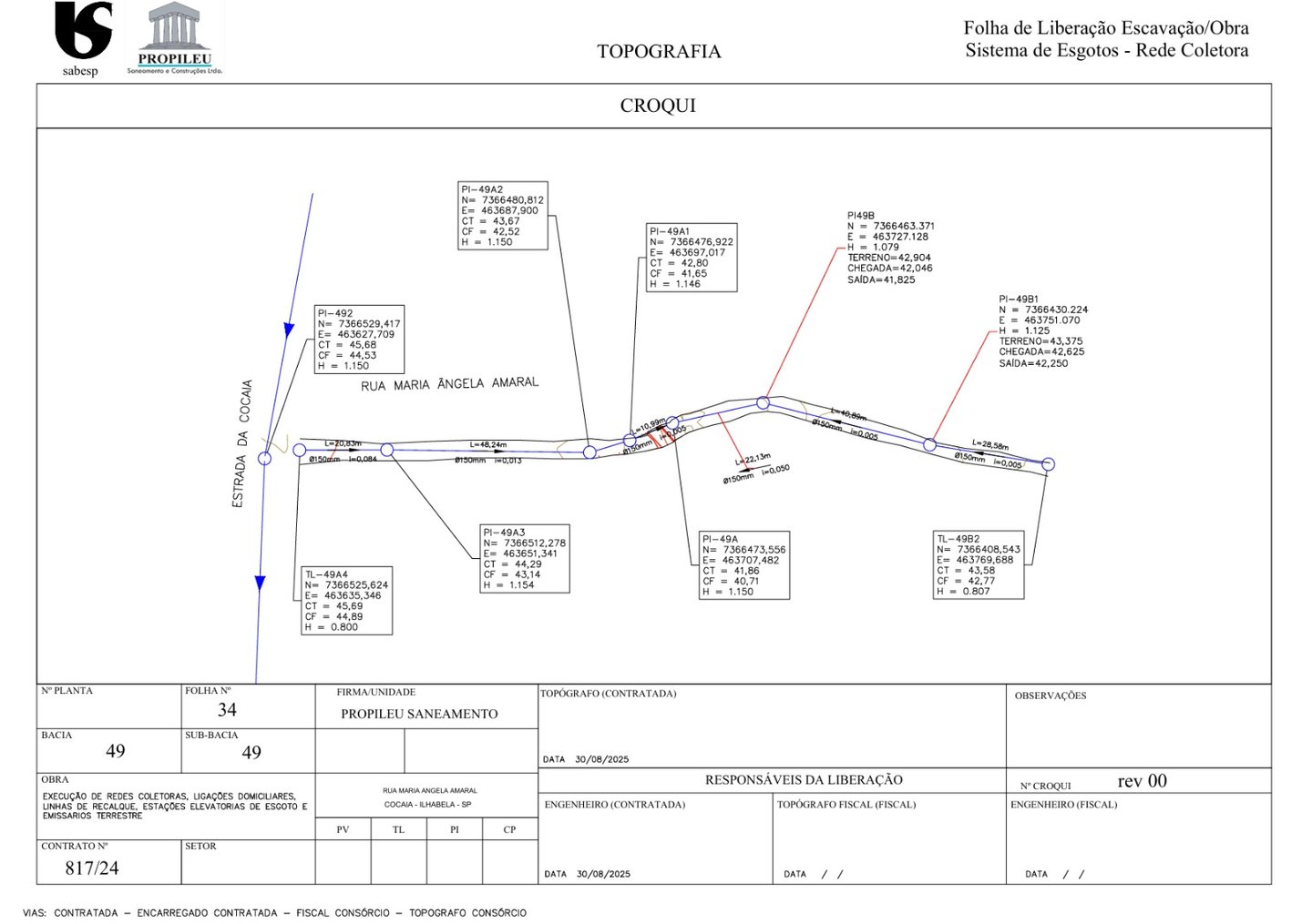
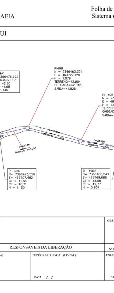
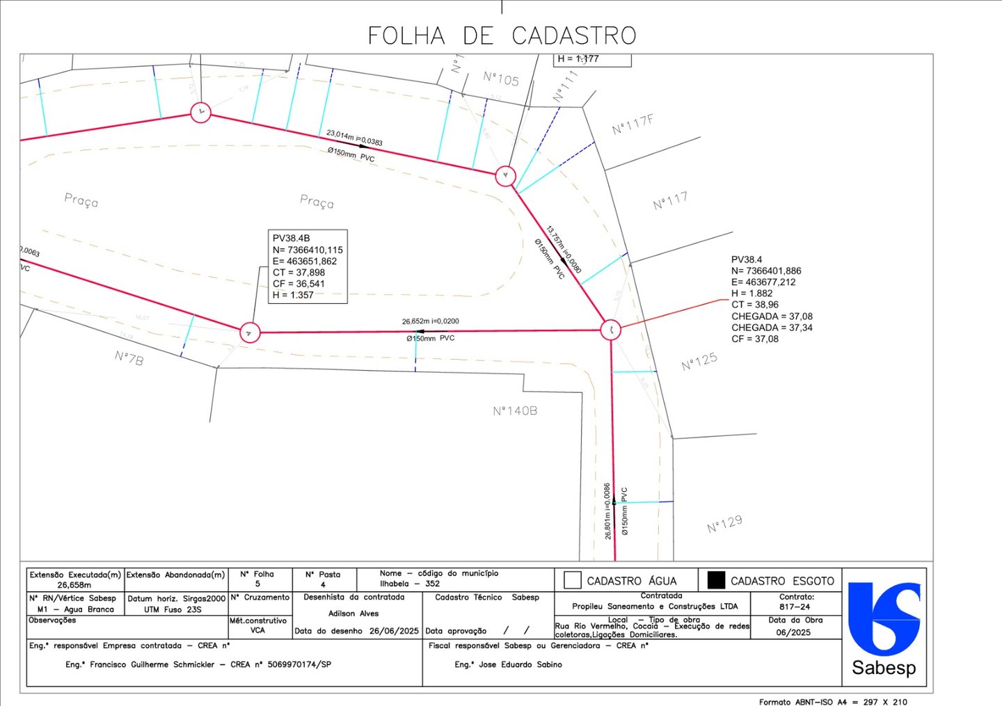
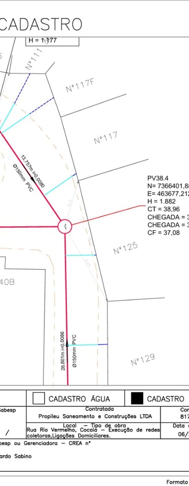
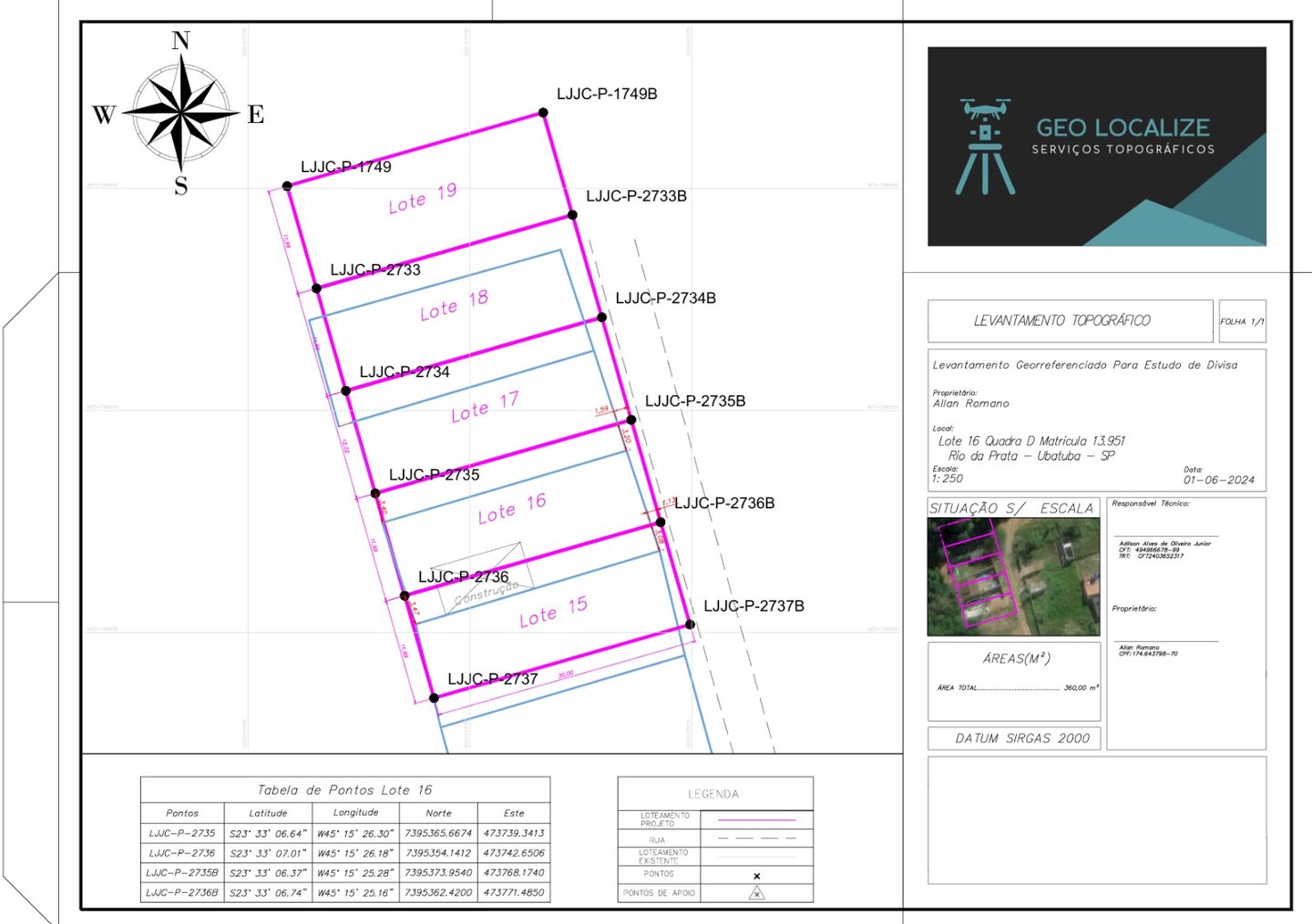
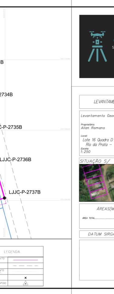
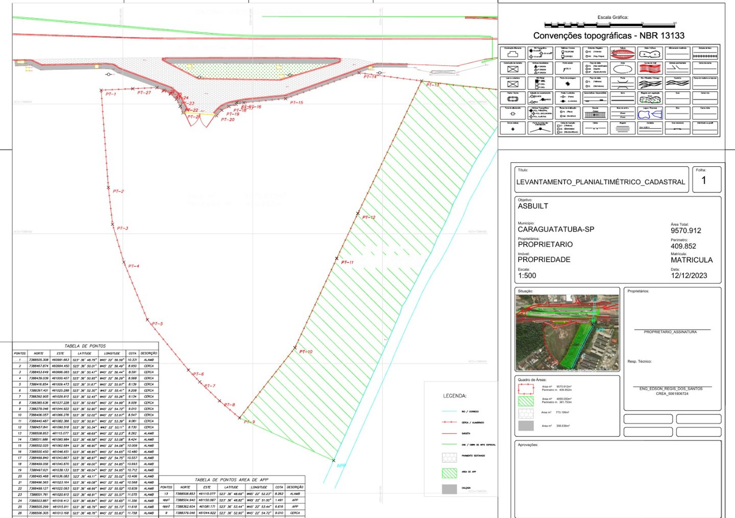
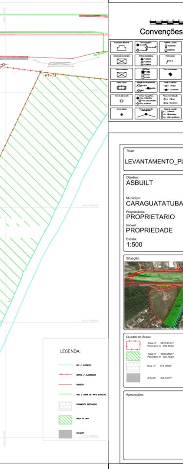
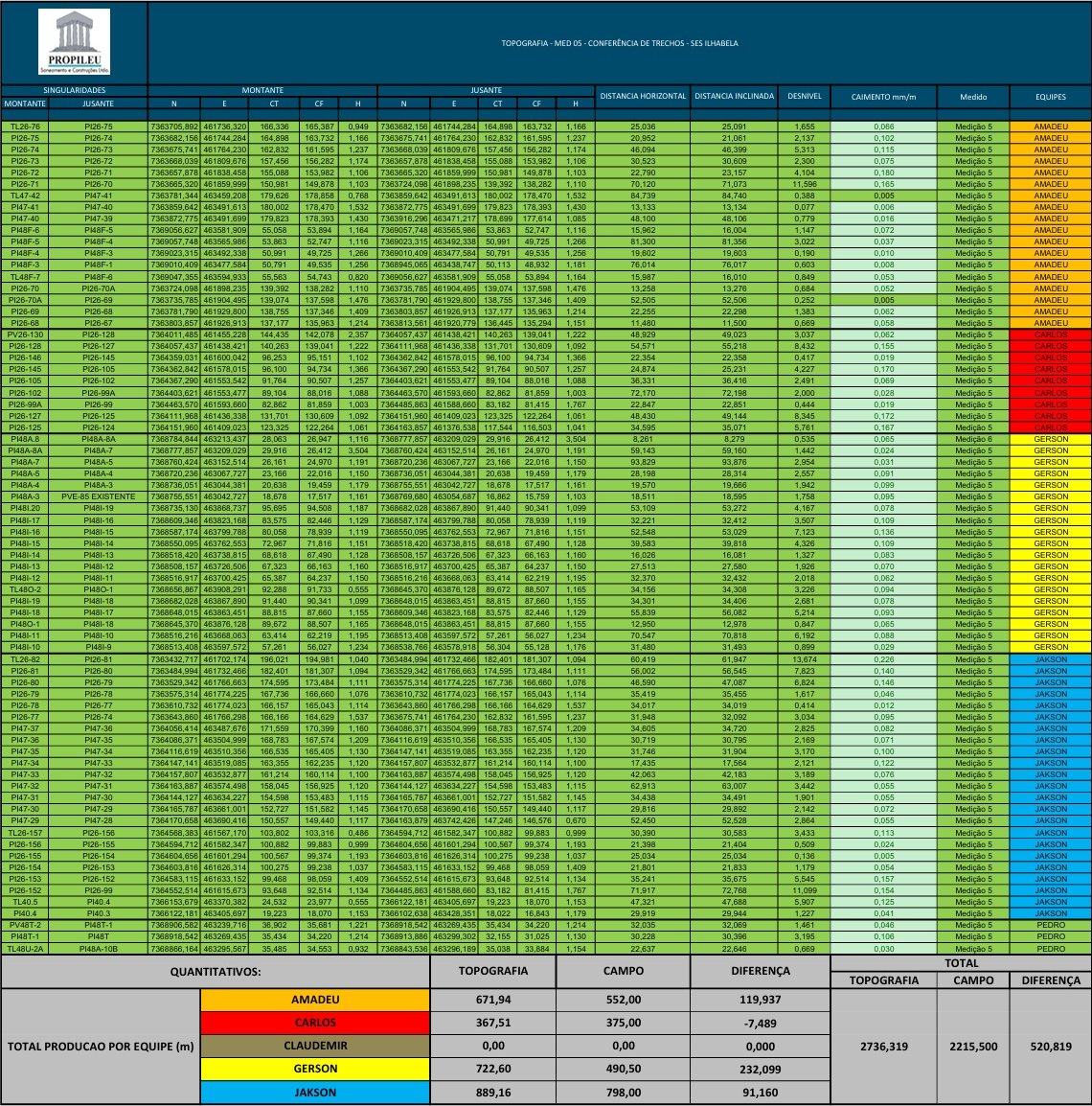
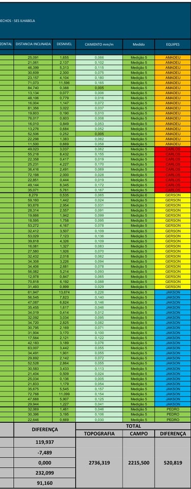
Projetos Topográficos

Realizamos projetos complexos em topografia e georreferenciamento.

A person is intently working with a modern surveying instrument, adjusting its components. The equipment has an orange and white body, with a digital display and various controls, suggesting precision and technical usage.
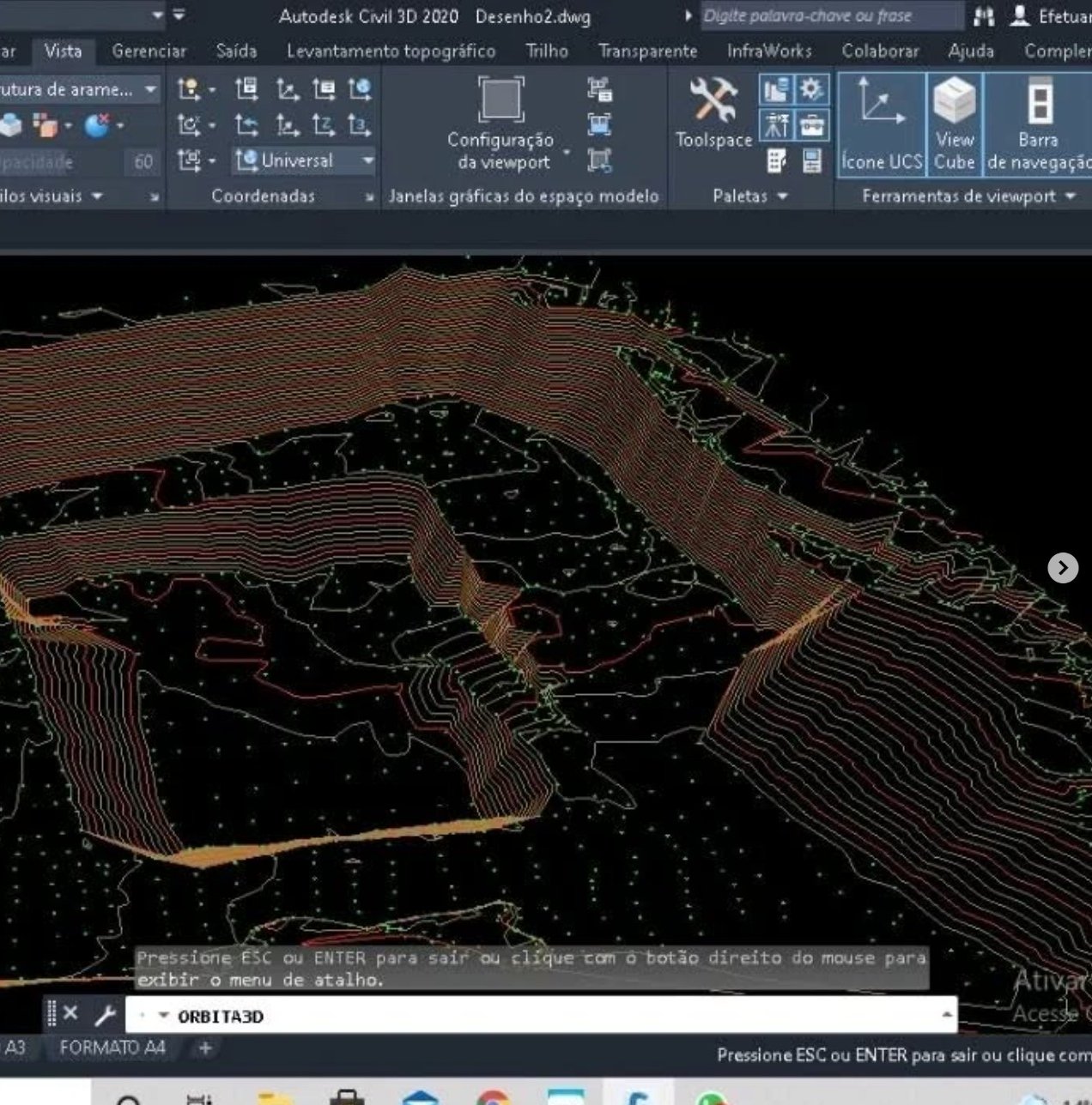
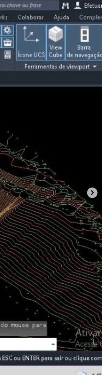
Levantamentos Precisos

Utilizamos tecnologias avançadas como GNSS e drones.

A concrete survey marker embedded in a larger stone, featuring a round metal disc with engraved text from the U.S. Coast and Geodetic Survey. The marker is surrounded by soil and foliage, with sunlight casting shadows.
An aerial view of a construction site with a foundation layout. The site is surrounded by areas of dirt and soil, with a paved road running along one side.
Aerial view of construction site soil with distinct tire tread patterns and uneven terrain. The surface shows a variety of textures and shades, primarily composed of light earth tones.
Apoio Técnico

Suporte a engenharias e construtoras em projetos.

Projetos

Topografia de alta precisão em diversas obras.